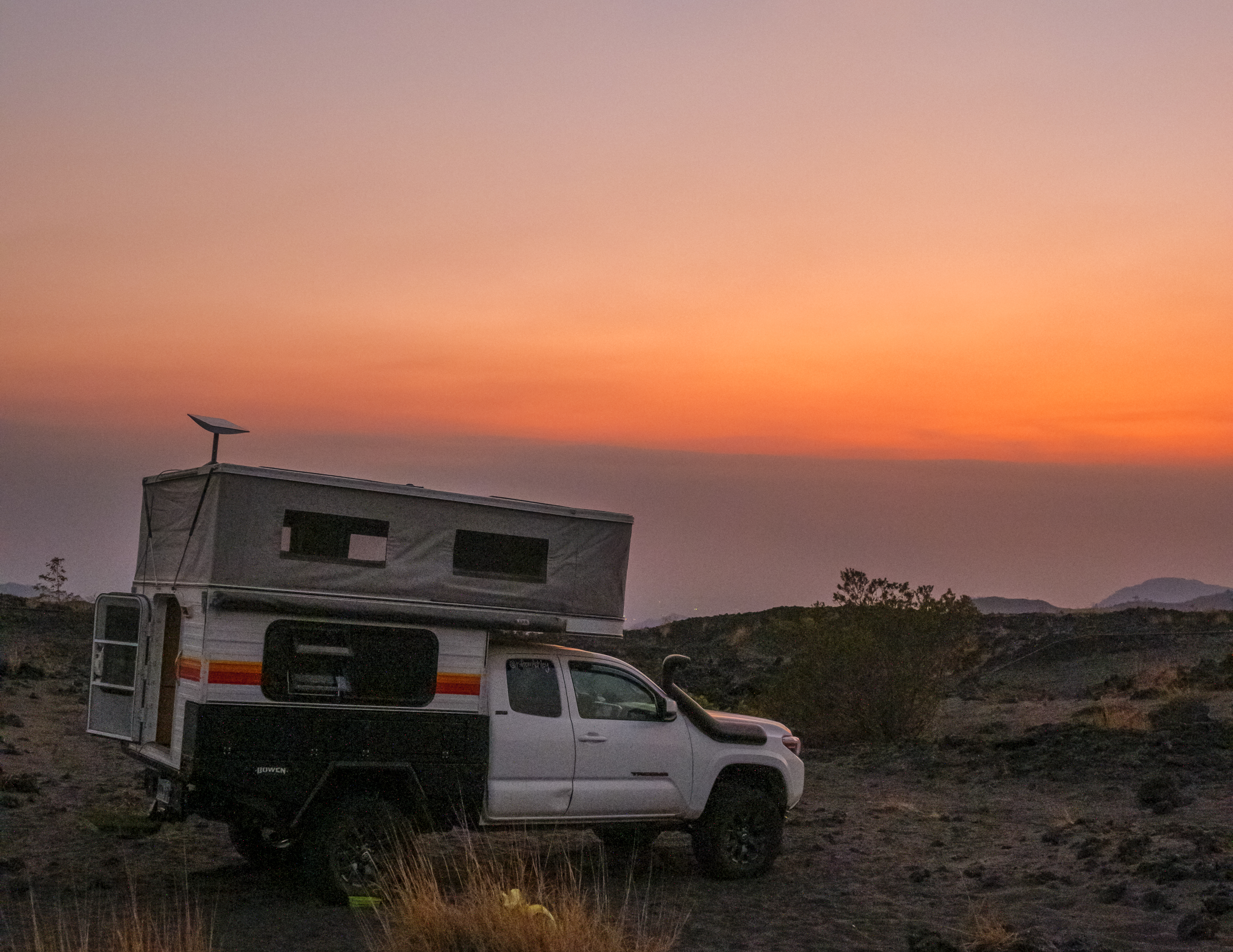
Over the years there are less and less wild camp spots in Colombia. Finding those top of the world, 360 views is a challenge. After spending 6 months overlanding here, I’ve put together a list of the best wild camps as well as some warnings* and things to consider.*
Nowadays most of the land is private. Along the coast most of beaches prohibit beach camping and to be honest, depending on the time of year beach camping will be very hot and the humidity is alive and well.
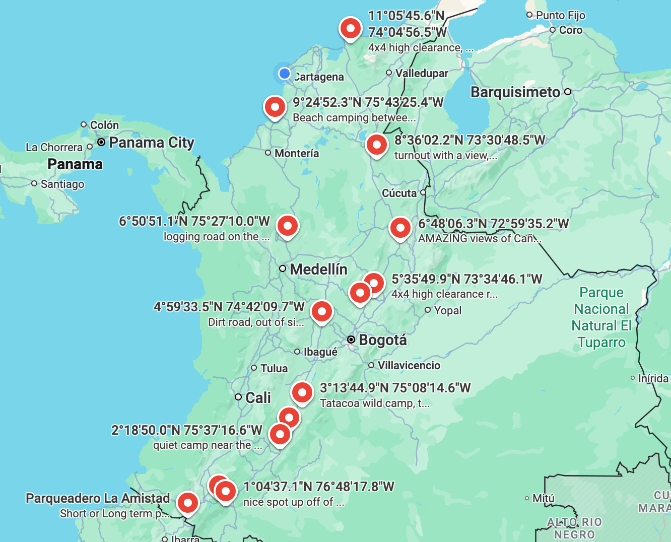
Save for later: All camp spots in Colombia in this post can be found here on Google maps.
Southwest of Cartagena
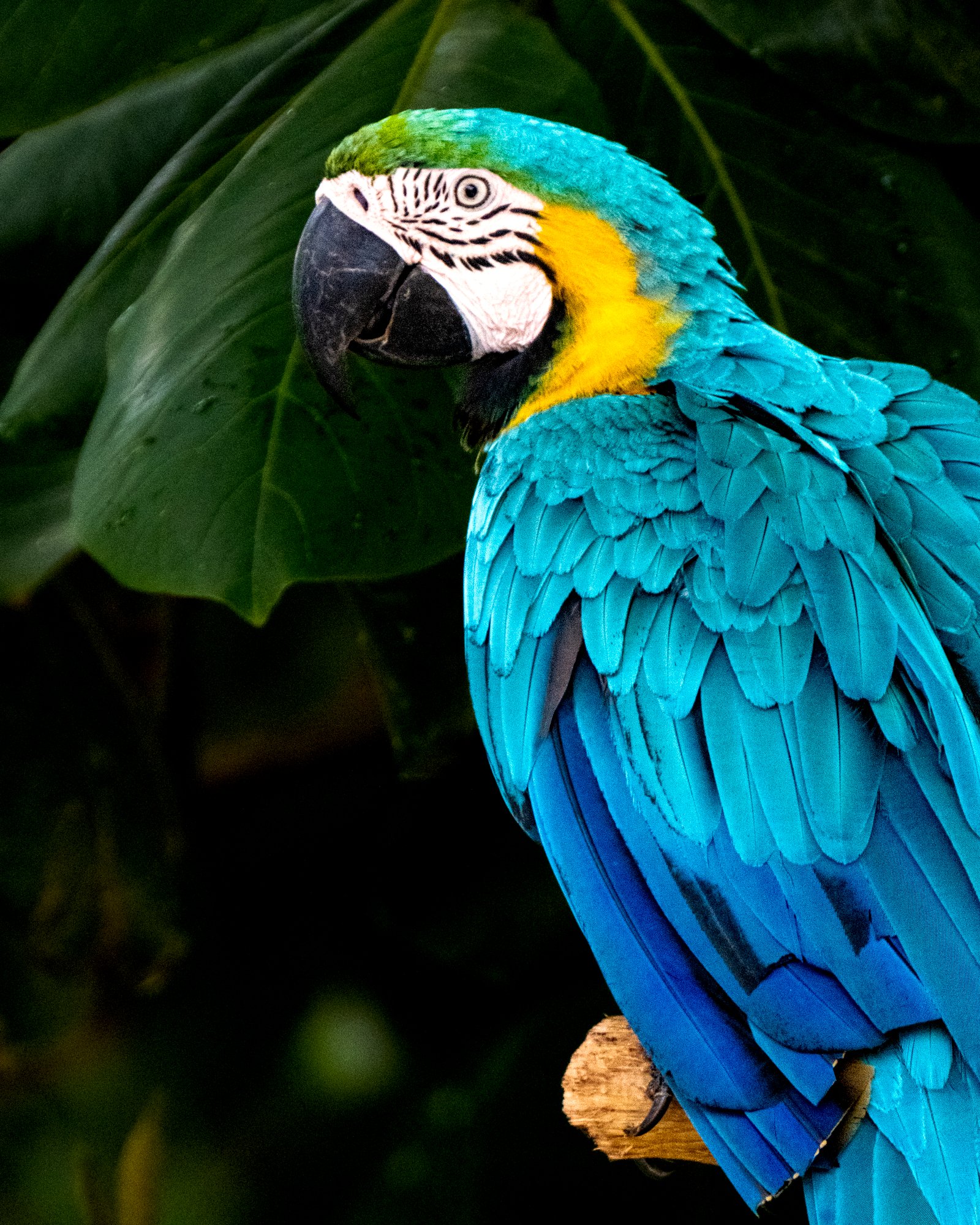
A few hours south of Cartagena shipping port you can sleep between the palms. This is one of the most peaceful spots on the entire coast that I found. Most of the houses in this area are holiday rentals. I spent the weekend camping here and only saw 5 people.

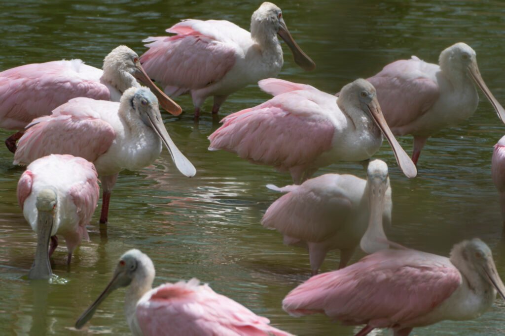
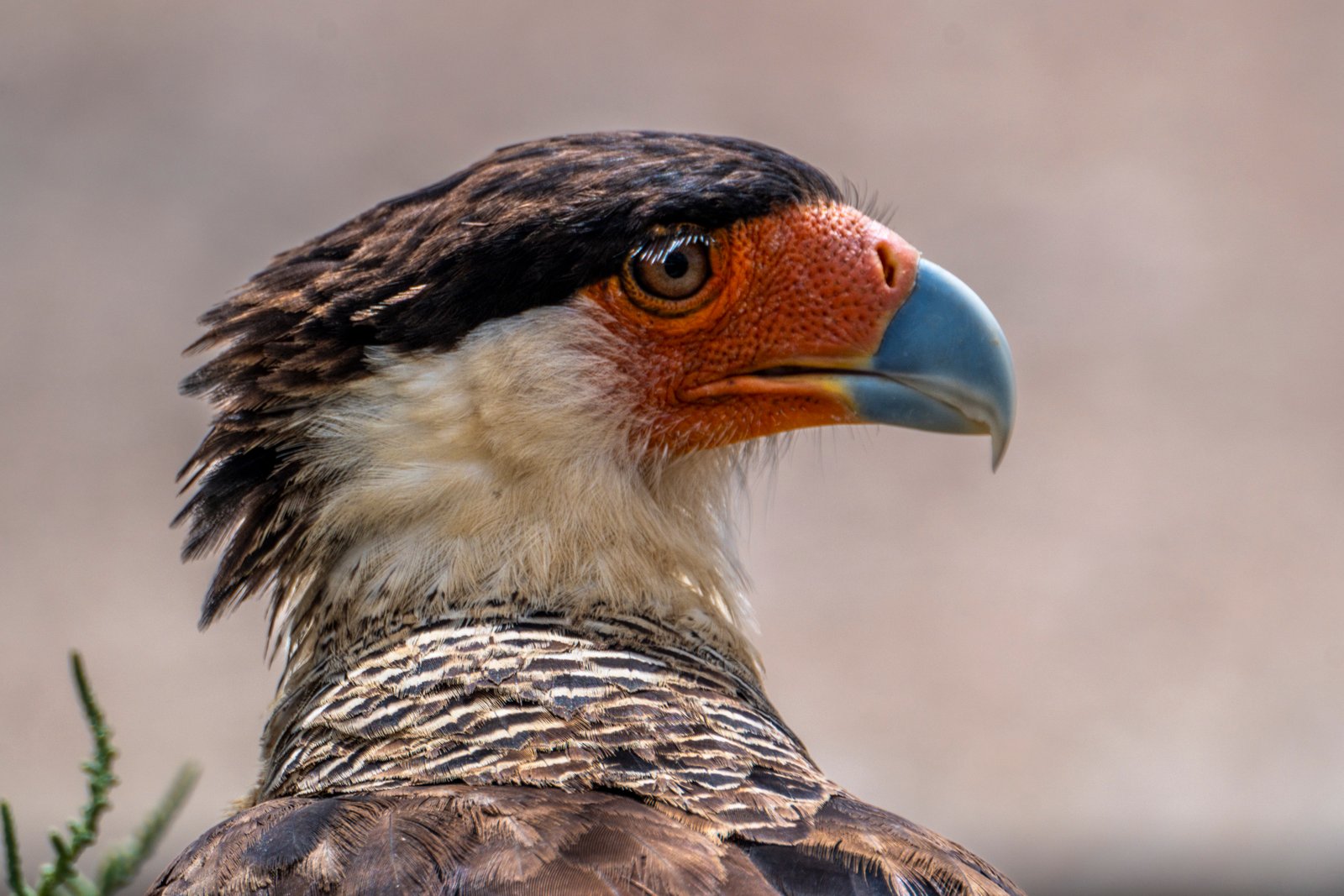
A few steps away there is a restaurant that is open daily. Right across the street from the restaurant you will can find a pair of Scarlet Macaws.
Northeast of Cartagena
From Cartagena to La Guajira* there are many places to stop. Barranquilla is the coastal version of Bogota. Santa Marta is a laid back beach town with hippy vibes. Minca is up in the mountains where you’ll find backpackers perhaps enjoying substances. Palomino is a small peaceful beach town. Riohacha is a little bit bigger, a great place to get an airbnb before or after La Guajira.
*La Guajira Warning
With political tension growing between the US and Venezuela it is once again becoming unsafe to visit this area. Please check current warnings and make a choice that works best for you.
Historically this area could be unsafe. For over 10,000 years it is the home of The Wayuu Tribe. And like all indigenous around the world, they have had to fight to keep their land and existence.
The entire area of La Guajira is similar to Baja Mexico. Washboard roads that are always changing with the wind. During the day you will see children playing on the side of the road. As you get closer they will run to their homemade rope and lift it up in attempt to stop your vehicle.
After spending a week in Cabo de la Vela I met many of these kids in person. What do they want? Why are they stopping vehicles?
They want cookies and candy. Per usual, avoid driving at night in this area. It is very easy to get turned around, even in broad daylight. There is no need to hire a guide to visit the most northern point of South America. However, extra fuel is a must.

If you decide to stay in Cabo de la Vela, you should know that it is very hot. It is always windy and has become a popular destination for kite/wind surfers. There are a few hostels and hotels that offer parking and A/C at night. Power for the town is off during the day.
Santa Marta to Bogota
On this route, wild camping spots are few and far between. So here are my top recommendations.
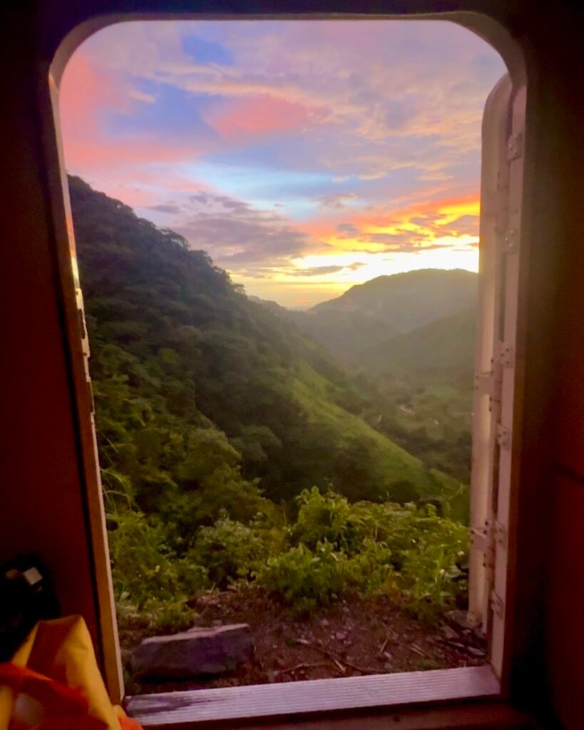
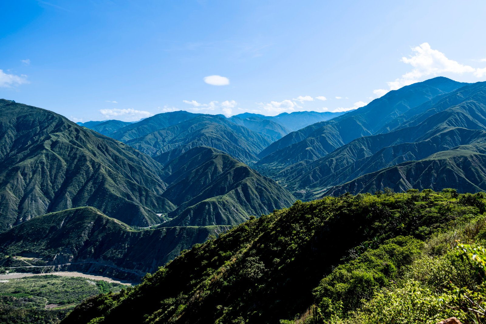
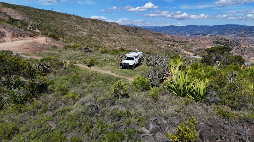
First up is a big jump south to a turnout with a view. This spot it about 45 minutes away from the main road. It might seem far out of the way but the stunning views of the valley more than made up for it. Next up,
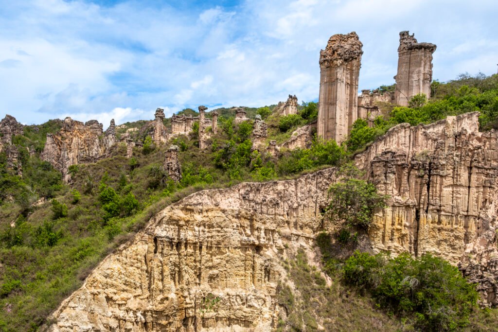
Area Natural Unica Los Estoraques
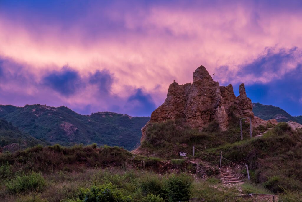
There is a small fee to camp, pet friendly and all size rigs can fit here without issue. Take a tour is the daytime to explore the area and marvel at the columns.
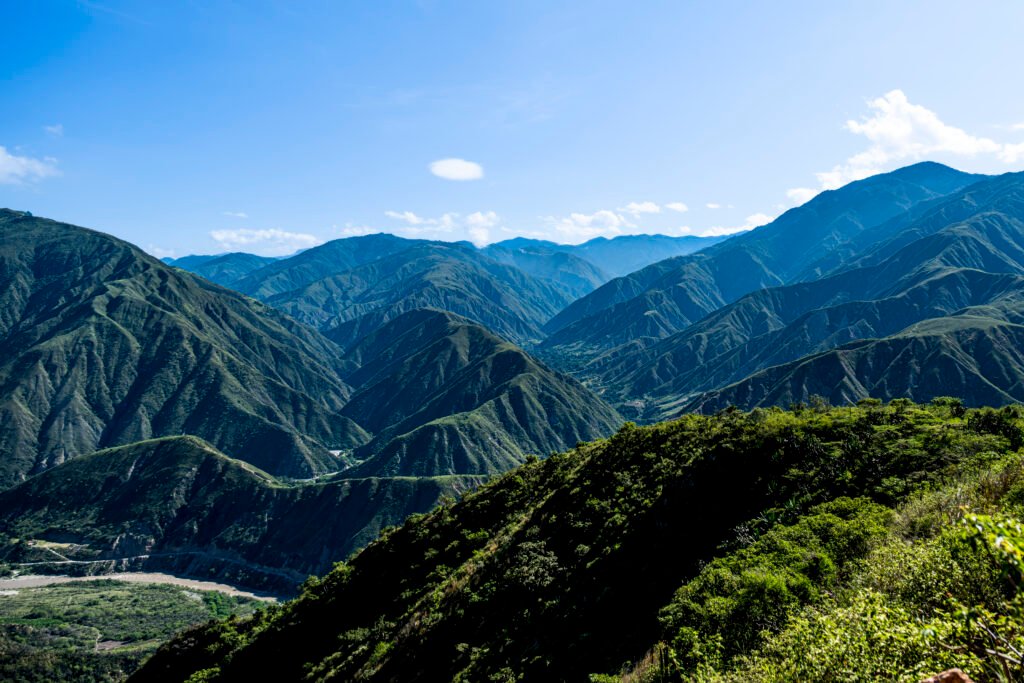
Next up, the AMAZING views of Cañón del Chicamocha. Here you will find a wide turnout (suitable for any size rig) on a sideroad. All day the views here are just incredible. It is quiet and peaceful at night.
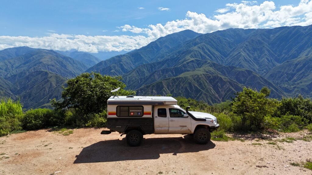
Between Chicamocha canyon and Bogota there are two mountain camps. My top pick offers 360 views.
Cartagena to Bogota
The first stop I do not have a photo for, but it is down off the main road on an old logging road. There are 2-3 different spots you can find to park. During my time camping here, two men on bikes pass in the morning and in the evening. Friendly, peaceful and cold at night.

The second spot is closer to Bogota. A small dirt road, drive back on minute and sleep out of sight from the main road. There’s a pond full of frogs and quite a few tortoise wandering around.

Mosquitoes turn up as soon as the sun sets. Please know, there is a small town close to this spot that is known to protest. They work at the solar farm and protest for better conditions. Harmless but beware you might need to change your route.
Turn off of the main road and pick a spot in the field.
*South of Medellín and Bogotá Warning
There are only two main routes down to the Colombia, Ecuador border. Each route presents different challenges. South of Medellin, starting in Cali to Popayán there is quite a bit of civil unrest. In 2024 there were a lot of warnings placed on the map, bombs on bridges, in the roadway and local cars blown up. It is recommended to drive Cali to Pasto in one day.
Option 2: From Mocoa to San Francisco, the challenge here is Trampolín de la Muerte, the trampoline of death. Colombia’s most dangerous road stretched 65 km or 40 miles and can take up to 6 hours. It is a single lane gravel road (approx 3 meters wide) that is known for taking the lives of many. It is not only narrow, but more often than not there are sheer drop offs, no guardrails and never ending waterfalls that create landslides.
From Bogota to Nieva there have been occasional protests from the truckers.
Bogota to Ipiales

Tatacoa desert is a must. This exact spot is located closer to the main town and star observatory. A few locals drive by in the morning and late afternoon. Very quiet with dark skies.
Highly recommend starting at this spot, take the next day to drive the entire loop. If there are no clouds it is easy to see the Milky Way with the naked eye.
Heading South to Ipiales
Please beware that to this day, (October 2025) there are several challenges in the southwest region of Colombia. As you might guess, this area is farming things that are usually illegal in other countries. In addition to the crops there are illegal mining operations of oil and gold. Summer into fall of 2025 there have been a few instances of military entering these areas resulted in soldiers held hostage.
None of this is to scare you, but it is important to be aware that each route south comes with different obstacles to navigate. The main route from Cali: bombs in the street, bombs on bridges and cars being blown up. Route from Bogota: protests that block the road for hours to days as well as the trampoline of death road.
Please stay up to date on current events and check the warnings on maps.
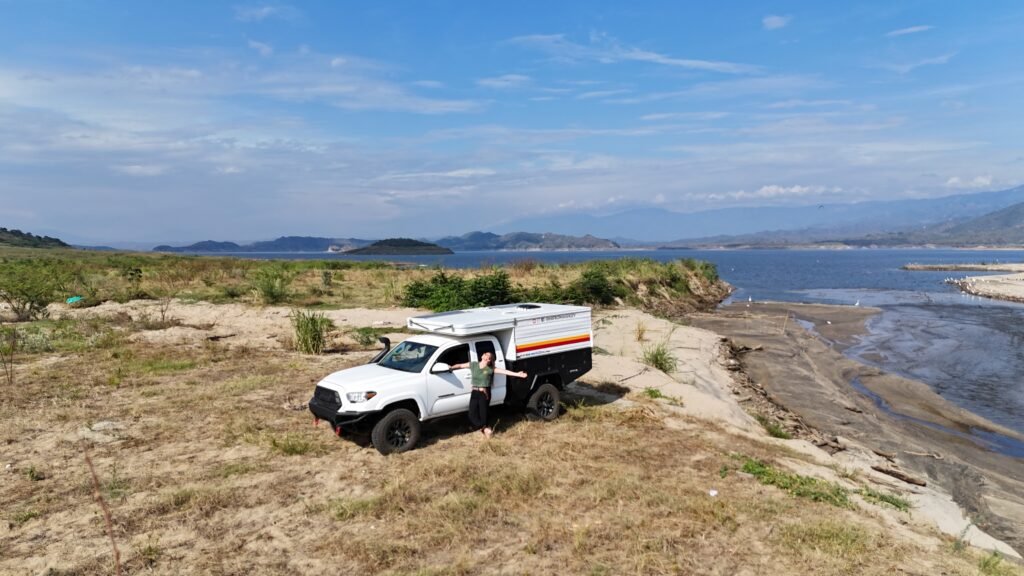
September of 2024 I continued south from Tatacoa and had to navigate around two protests blocking the road. Once I arrived to this lakeside camp it was a breath of fresh air.
Here I stayed for 3 nights and 4 days. In total I saw 5 people, two of which were the husband and wife that own the farm. Each night just as the sun was setting, in the distance you’ll hear a farmer whistle. Slowly but surely all the cows will start their journey down the hill to cross the shallow river to rest for the night on other side.
Trampoline of Death / Devils Trampoline
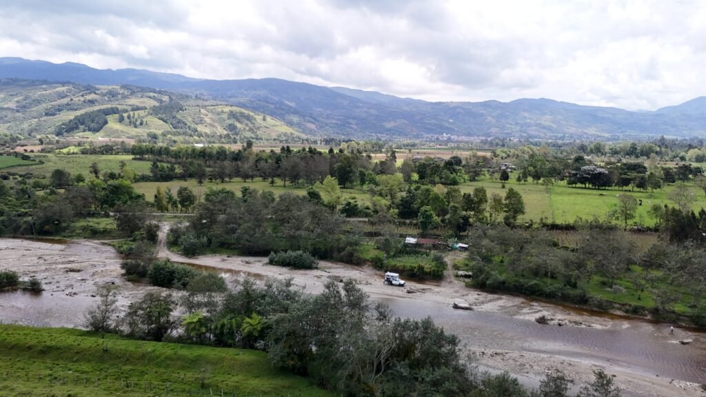
If you drive the trampoline of death all at once, there is a nice place to camp here in the middle of the river. If you don’t want to risk the shallow crossing there is a parking lot to camp in. Very peaceful place to camp and not too cold at night.
If you would like to camp on the devils trampoline, here is a wild camp spot that is up off the road.
Vehicle Storage in Ipiales
Once you reach Ipiales and plan of store a vehicle, you should know that it is simple and straightforward. But, is it legal? No. Here in this post I share all the details from start to finish.
Watch on YouTube
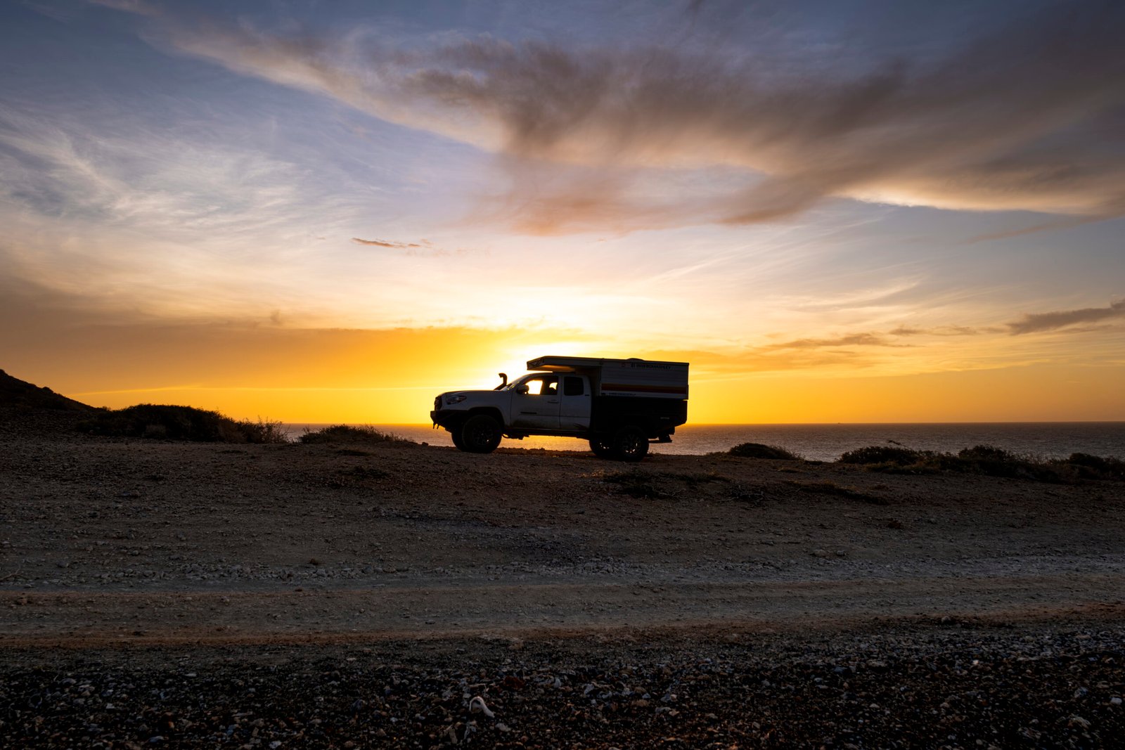
Hey there! My name is Ashley and I am the adventurer behind the wheel of Macho Taco
This once-in-a-lifetime adventure is not only fulfilling my dreams, but also paying homage to my late father. His free spirit of exploration continues to guide me every mile of the way.
Check out current videos on Instagram

Join the adventure!
Once you sign up, I will email you a free gift and from the road, I will send you monthly updates. Excited for you to explore the world with me, no matter where you are.